
Hydrology and water resources
It is a leading national high-tech enterprise with independent intellectual property rights and a national specialized and special new little giant enterprise, and is a professional provider of water sensing products and solutions.
-
Background and pain points
-
Overview & Architecture
-
Features & Benefits
-
Values & Cases
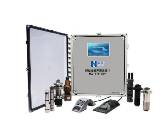
- Ultrasonic time-of-flight flowmeter
- Array current measurement system solution
- Design scheme of UAV emergency current measurement system
Background and pain points
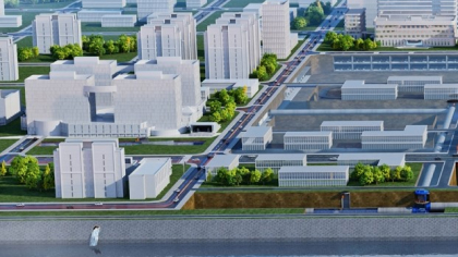
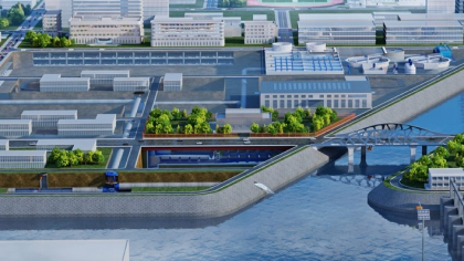
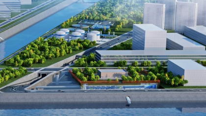
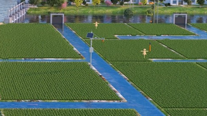
The flow measurement methods in the hydrological industry mainly include fixed-point flow measurement and non-fixed-point inspection. The fixed-point current measurement method is limited to the point measurement at a specific location, and the non-fixed-point inspection method can only be carried out on the bridge and the shore. With the development of modern science and technology and the gradual improvement of requirements, in recent years, the river flow test methods have shown a trend of diversification, and the technology has been constantly innovating, but for the flood control emergency rescue flow test or the river with a wide river, a wide basin area and a high water velocity, the traditional flow measurement means and equipment can no longer meet the needs of information development and emergency rescue.
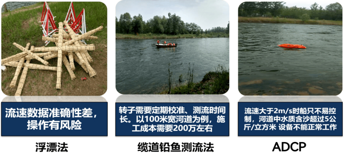
Figure 1-1 Traditional current measurement equipment and methods
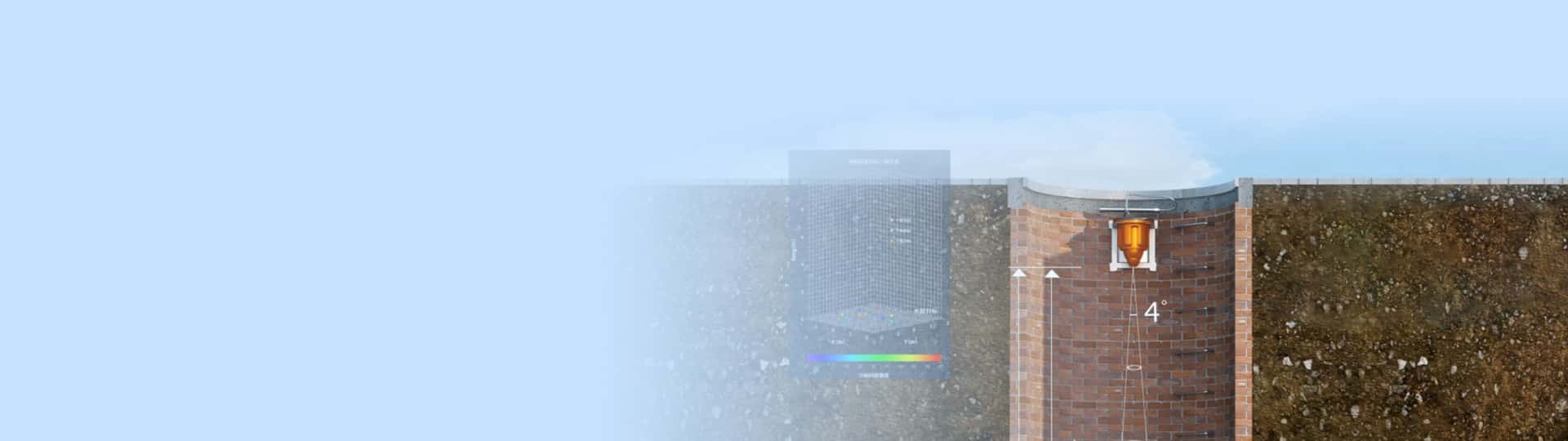
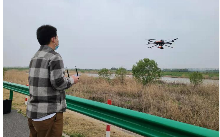
The UAV emergency flow measurement system overcomes the shortcomings of the traditional flow test, with its flexible and convenient working mode, it is not restricted by the terrain and environment when working, the working coverage radius is large, and it can also work handy in harsh terrain, especially suitable for flood control and emergency rescue flow measurement, while reducing the risk factor of manual measurement, and then improving the measurement accuracy and work efficiency, and being on call to respond to emergencies at any time.
Overview & Architecture
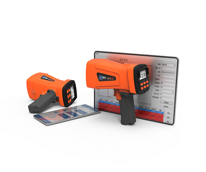
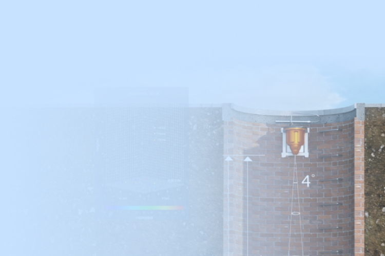
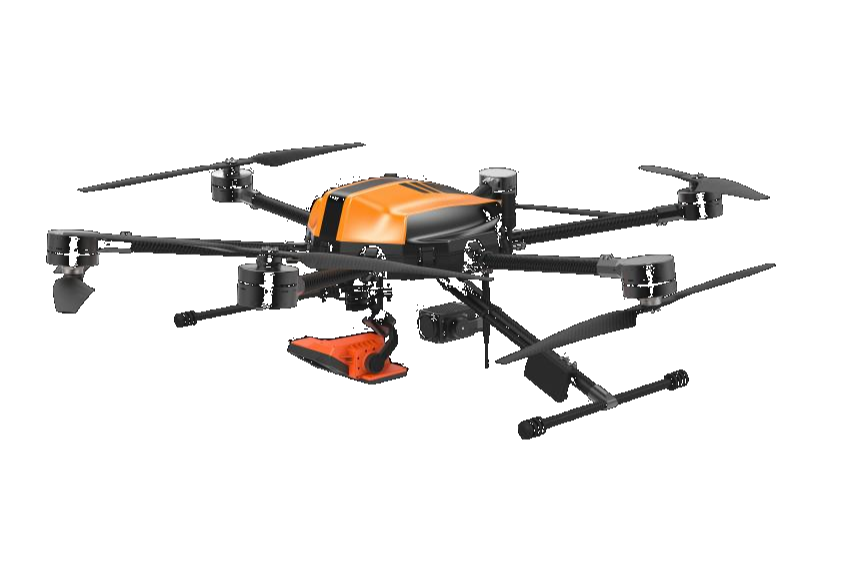
HZ-F6-LV UAV emergency current measurement system with the flight platform RTK centimeter-level positioning, by analyzing the relationship between Doppler frequency shift and relative velocity V to measure the surface velocity of the fluid, can realize the measurement of water level, flow rate and flow, combined with the UAV platform can realize the measurement and seeing, low constraints of the monitoring environment, and play its advantages in the fields of water conservancy, hydrology, environmental protection and sewage monitoring. The supporting software has two modes: independent planning of the flow measurement route or manual flight by the pilot, and the high-precision measurement also meets the hydrological specifications.
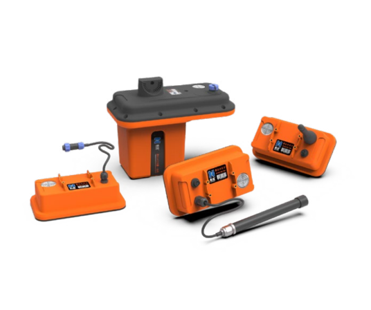
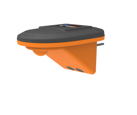
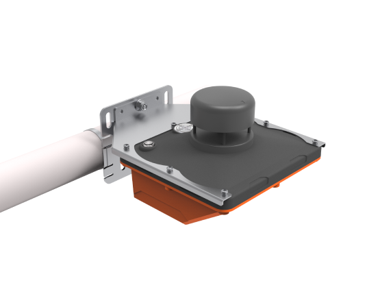
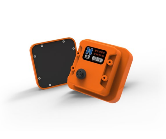
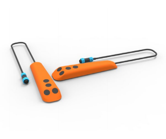
The UAV emergency radar flow measurement system is divided into air equipment and ground equipment. The aerial equipment includes the flight platform, the radar current measurement pod (including the PTZ), and the ground equipment includes the PC terminal, the wireless receiving terminal, the current measurement software, etc.
Features & Benefits
(1) The whole process of current measurement adopts non-contact current measurement mode, which is not affected by the corrosion and sediment of the measuring liquid, and is easy to maintain and simple to operate;
(2) Equipped with specific current measurement software, it can not only control the flight platform, but also process the current measurement data. It can independently plan the route and multiple measurement points according to the instructions, and after the aircraft takes off, it will automatically hover over the measurement points according to the software instructions to carry out perpendicular current measurement, which improves accuracy and complies with hydrological specifications;
(3) The speed test result will be displayed on the tablet in real time and stored. Through Wi-Fi or wired network, the acquired images or measurement data can also be shared in the form of tables to other display terminals.
(4) Autonomous flight can be realized through software, the use cost is low and the construction cost is reduced, the current measurement location is flexibly selected, the coverage is wide, and it is not constrained;
(5) The supporting portable ground station can realize the simultaneous viewing of three screens, and can observe real-time current measurement data, water real-time conditions, and flight control interface;
(6) The velocity measurement range is 0.03~20m/s, the flow velocity covers a wide range, and small ditches and large flow velocity canals are also used;
(7) Equipped with a lens, it can intuitively view the speed measurement and flight situation from the first perspective.
Values & Cases
-
Improve measurement coverage
The drone is equipped with a radar speed measurement system, which can efficiently cover a large area of water and provide comprehensive flow rate data.
-
Real-time monitoring and early warning
Through real-time data transmission and analysis, water flow anomalies can be detected in time, and rapid response can be made to reduce potential risks.
-
Improve security
By carrying out flow measurement operations in hard-to-reach areas, drones can reduce the danger of manual operation and improve operational safety.
-
Reduce operating costs
It reduces the maintenance and operation costs of traditional ground equipment while improving the efficiency and accuracy of data acquisition.