


Hydrology and water resources
It is a leading national high-tech enterprise with independent intellectual property rights and a national specialized and special new little giant enterprise, and is a professional provider of water sensing products and solutions.
-
Background and pain points
-
Overview & Architecture
-
Features & Benefits
-
Values & Cases
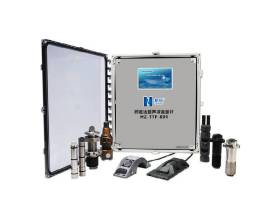
- Ultrasonic time-of-flight flowmeter
- Array current measurement system solution
- Design scheme of UAV emergency current measurement system
Background and pain points
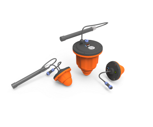
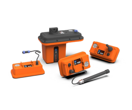
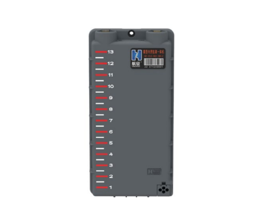
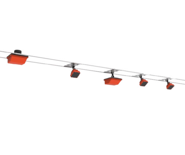
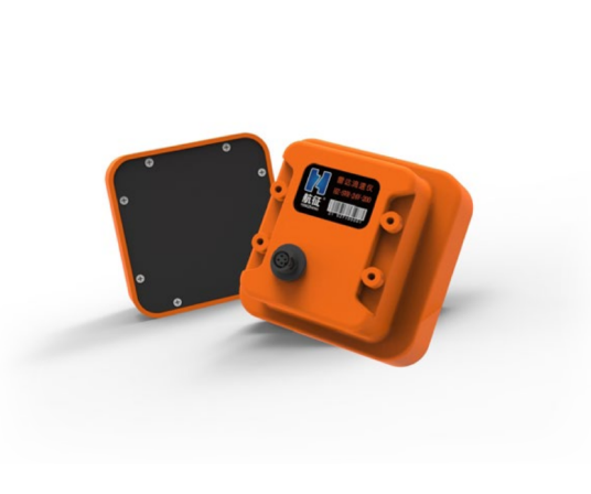
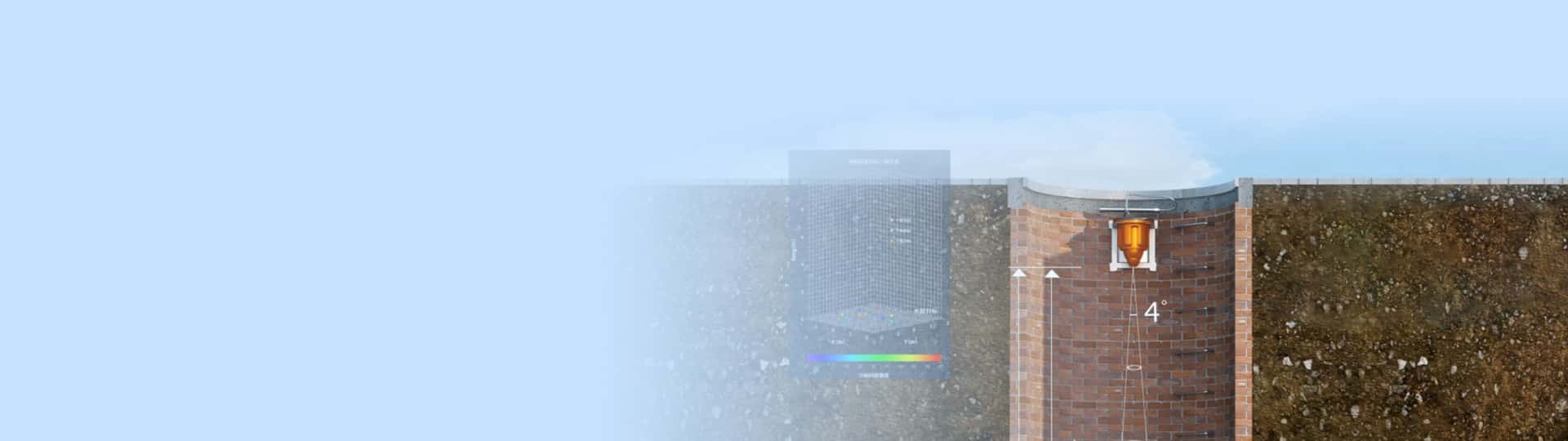
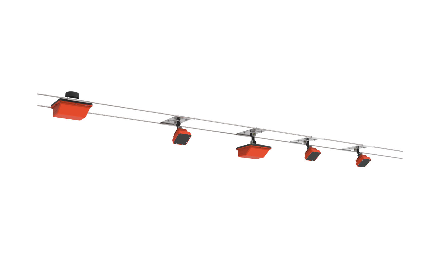
Since the surface velocity of the radar measurement surface is sometimes affected by harsh environments such as strong wind and heavy rain, the system can introduce rain intensity and wind speed and direction signals to compensate for environmental interference. At present, the array 3.0 radar online flow measurement system integrates a rain sensor and an external wind speed and direction sensor inside the host to compensate and alarm the interference of environmental factors through calculation. The array 3.0 radar online current measurement system is based on the existing mature current measurement products, which mainly includes one HZ-SVR-24Q-300 radar flowmeter array host, one HZ-SVR-24Q-200 radar flowmeter array extension and several HZ-SVR-24V-200 radar flowmeter array extensions. Array 3.0 radar on-line current measurement system is an on-line current measurement system applied to large sections, complex flow regimes and cross-sections subject to external interference (such as wind, rain, etc.). For example, the cross-sectional width of large rivers can reach hundreds of meters or even thousands of meters, and the flow velocity is unevenly distributed on the cross-section, and it is greatly affected by environmental factors. Another example is some small and medium-sized rivers, the width is tens of meters, but the flow pattern is relatively complex, and there are sluices, bends and other factors that cause uneven flow velocity in the section.
In view of the above-mentioned current measurement conditions, in order to provide more complete and accurate cross-section flow velocity information, the array 3.0 radar online flow measurement system introduces multiple radar flow velocity sensors to obtain the surface flow velocity of multiple velocity measurement perpendiculars, and introduces rainfall and wind speed signals to compensate for environmental interference, so as to realize accurate monitoring of water level, flow rate, flow, wind speed and direction, rain intensity and other information, real-time alarm, historical data analysis, and effective risk early warning and scheduling management.
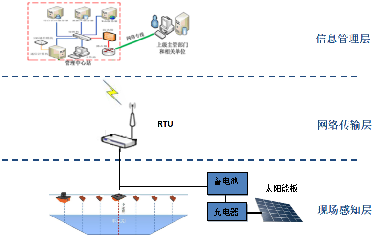
Overview & Architecture
The array 3.0 radar online current measurement system can be divided into "field perception layer", "network transmission layer" and "information management layer". Through the combination of functions at all levels, the real-time, accurate, remote and intelligent current measurement can be realized.
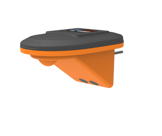
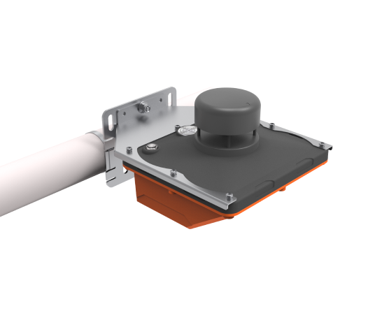
1. The composition of the on-site perception layer mainly includes various field instruments (current measurement host and extension) and solar power supply system. This layer provides the system with real-time on-site current measurement data and environmental compensation related measurements, and the accuracy and reliability of its data is the foundation and focus of the entire system.
2. The main function of the network transmission layer is to realize the remote transmission of field data, and its most important hardware component is the remote telemetry terminal RTU. The system communication networking often adopts hybrid networking methods such as 2G/4G/NB-IoT, and Internet.
3. The information management layer is a platform that mainly realizes the functions of storage and query, data visualization, risk early warning, statistical analysis, and remote control management of flow measurement data.
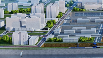
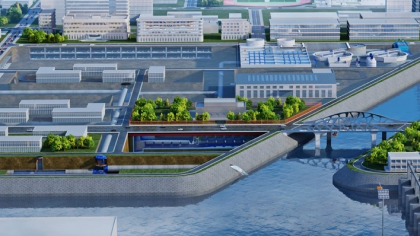
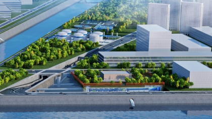
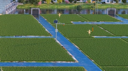
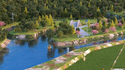
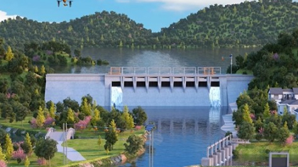
The array 3.0 radar flow measurement system can be applied to natural rivers, irrigation canals, urban inland rivers and other application scenarios.
Features & Benefits
Basic functions
(1) Acquisition and transmission functions
Water level, flow rate, flow rate, wind speed and direction, rain intensity, etc. are automatically collected, self-reported regularly, and the current data is sent to the central station through the GPRS/GSM communication channel according to the pre-set fixed time interval.
(2) Standby communication function
Telemetry stations that are difficult for maintenance personnel to reach and repair faults in a short period of time, especially important stations in the system, should have backup communication functions.
(3) Protection function
Telemetry stations need to be protected against overvoltages so that the equipment is not easily damaged in the event of a lightning strike. For unattended telemetry stations, they should have anti-vandalism and anti-theft functions.
Alarm monitoring function
(1) Alarm for water level and flow rate exceeding the limit
When the water level and flow rate exceed a certain specified value, an alarm will be issued.
(2) Alarm for insufficient power supply
An alarm is issued when the power capability of the telemetry station falls below the set threshold.
(3) Equipment accident alarm
When an accident occurs in a certain equipment, it will automatically alarm immediately. In order to attract the attention of the staff in time, in addition to the screen display alarm, the sound and light can also be used to alarm.
This product has the following main features:
(1) For the design of wide-section current measurement, the wiring and measurement of the wide-section perpendicular line are strengthened by connecting multiple extensions through the host, which improves the accuracy and stability of the current measurement and conforms to the hydrological flow measurement specification;
(2) Integrated rainfall, wind speed and direction sensors, which can judge the presence and size of rainfall, wind speed and direction;
(3) The core hardware of speed measurement is upgraded, and high-sensitivity antennas are used to improve monitoring performance;
(4) The new intelligent algorithm realizes self-learning, self-adaptation and self-filtering to ensure that the data is stable and reliable under complex monitoring conditions such as wind and rainfall;
(5) The communication is stable, and the wired or wireless communication mode can be flexibly selected between the host extensions;
(6) Real-time online monitoring, unattended, higher efficiency and more comprehensive information.

Values & Cases
-
Comprehensive measurements
By installing sensors at multiple locations in the fluid path, the array flow measurement system is able to provide a more comprehensive measurement result by taking into account flow rate and flow data at different locations.
-
Reduce errors
Data from multiple measurement points can be averaged and corrected, reducing possible errors with a single sensor and improving overall measurement accuracy.
-
Adjust dynamically
It can monitor the changes of the fluid in real time, and dynamically adjust and compensate to improve the reliability of the system.
-
Spatial distribution information
Array systems can provide information on the flow rate and flow distribution of fluids at different locations, providing insight into the dynamic behavior of fluids within channels.
-
Flow field analysis
By analyzing the data from multiple measurement points, the spatial distribution of the flow field can be mapped, thus revealing the flow pattern and structure of the fluid.
-
Adaptable
The array flow measurement system can adapt to different fluid environments (such as high flow velocity, high sediment content, etc.), and improve the reliability of measurement through the data complementarity of multiple measurement points.
-
High stability
The dispersed arrangement of multiple sensors reduces the impact of a single point of failure and enhances the stability and robustness of the system under harsh conditions.
-
Real-time data
The real-time and comprehensive flow data provided helps managers make timely decisions to optimize the dispatch and utilization of water resources.
-
Early warning function
Ability to monitor flow changes in real-time for early warning of anomalies and prevent potential flooding or drought problems.