


Urban water security
It is a leading national high-tech enterprise with independent intellectual property rights and a national specialized and special new little giant enterprise, and is a professional provider of water sensing products and solutions.
-
Background and pain points
-
Overview & Architecture
-
Features & Benefits
-
Values & Cases
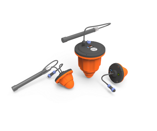
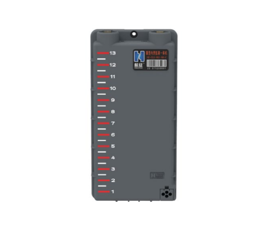
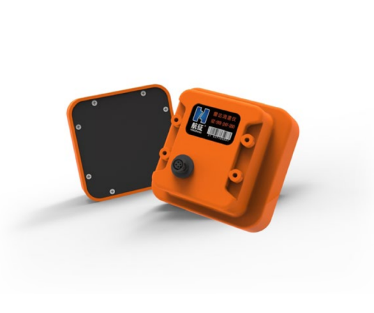
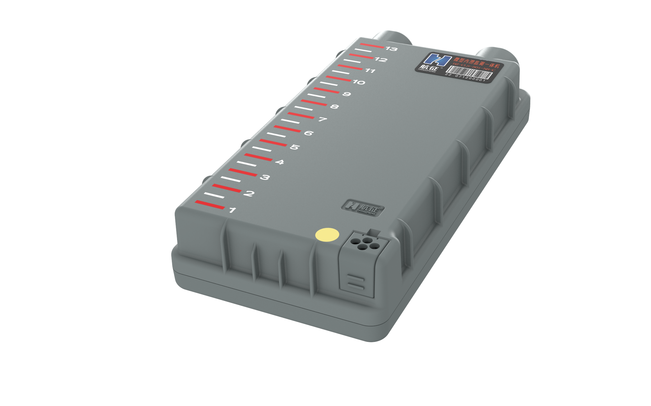
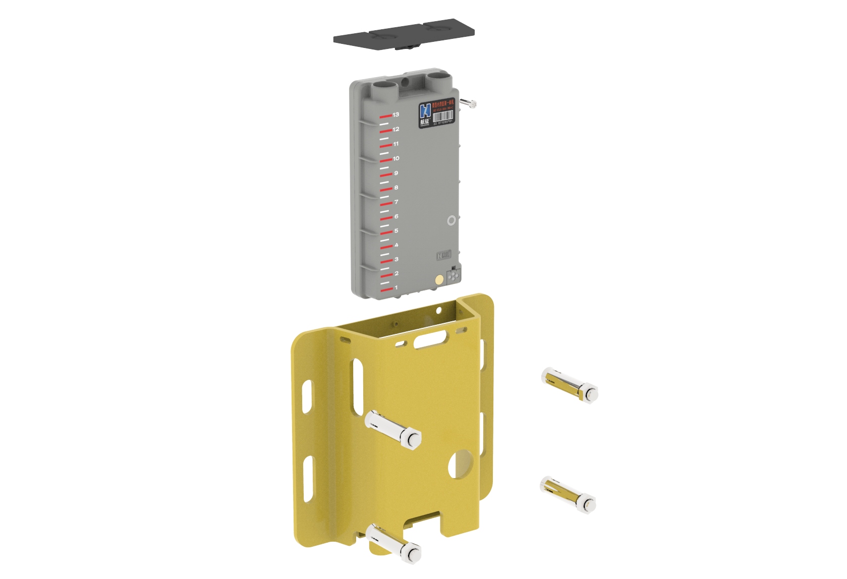
- Water level monitoring system for urban flood-prone points - 60L series water level gauge
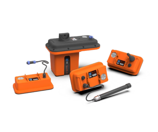
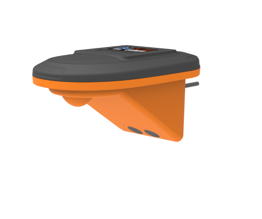
- Water level monitoring system for urban flood-prone points - micro waterlogging monitoring all-in-one machine
Background and pain points
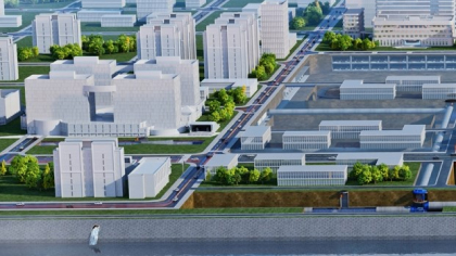
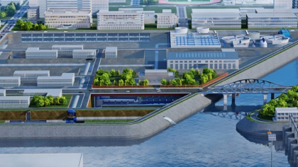
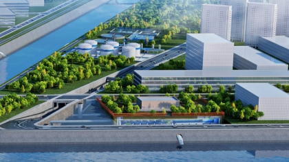
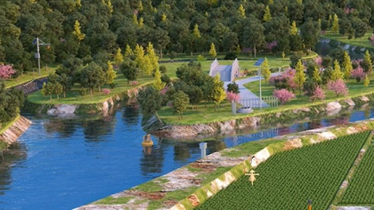
Compared with other water-related scenarios such as urban drainage pipe networks, pumping stations, and outlets, there are more people and vehicles flowing in the city's underground garages, basements, low-lying places, underpass tunnels, sunken roads and other waterlogging points, which intersect with people's production and life in geographical space. Some special points are not exposed to sunlight for a long time, and the air flow is poor and the humidity is high. It can be seen that the scenarios of waterlogging points are different, and the on-site working conditions are relatively complex, so it is necessary to comprehensively consider the different situations that may be encountered in various scenarios.
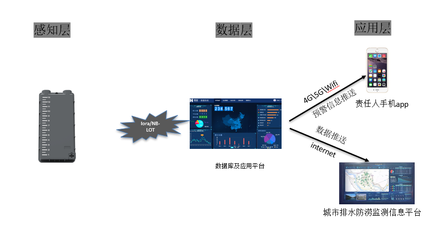
Overview & Architecture
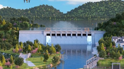
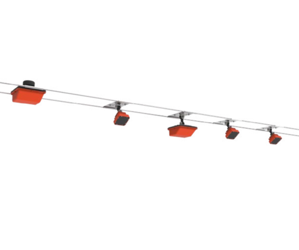
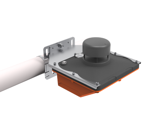
The system is mainly composed of water level monitoring stations at flood-prone points, communication networks and monitoring cloud platforms.
Features & Benefits
1. Dynamic monitoring
Monitor the water level and rainfall of waterlogging points such as low-lying roads, underpass overpasses and tunnels, and transmit the data to the urban waterlogging monitoring, early warning and control center and related supervision platforms in real time through wireless network transmission methods such as LORa/NB-lot.
2. Joint commissioning of pumping stations
The water monitoring points of overpasses and tunnels can be linked with relevant drainage pumping stations to automatically control the start and stop of drainage pump units according to the water level.
3. Intelligent access control.
Relying on the existing stop pole and automatic road pile, combined with the existing water level data, the drop of the stop pole can be automatically controlled, and the road pile can be raised to ensure that personnel and vehicles cannot enter the waterlogged area.
4. System data storage.
The system software has the functions of map display, data storage, data query, data statistics, curve analysis, etc., which provides data support for later urban development and transformation.
5. Early warning information push.
When the water level is too high and the equipment is abnormal, the system will automatically alarm and automatically send early warning information to the mobile phone SMS and APP of the responsible person. Relying on the existing operator platform to realize mass SMS, remind the public of dangerous road points, and avoid detours in time.
Values & Cases
-
Improve waterlogging monitoring capacity
Through comprehensive data collection and real-time analysis, improve the monitoring capacity of urban waterlogging.
-
Optimize emergency response
Early warning and alarm to help relevant departments and residents take emergency measures in time to reduce losses.
-
Reduce environmental risks
Reduce the impact of waterlogging on the environment and urban infrastructure through effective monitoring and management.
-
Improve decision-making efficiency
Provide real-time data and comprehensive analysis to support scientific decision-making and waterlogging risk management.