


UAV radar current measurement system
The HZ-F4/F6-LV UAV radar current measurement system is an unmanned flow measurement system developed for river high flood testing and field emergency testing scenarios
-
Product Overview
-
Technical features
-
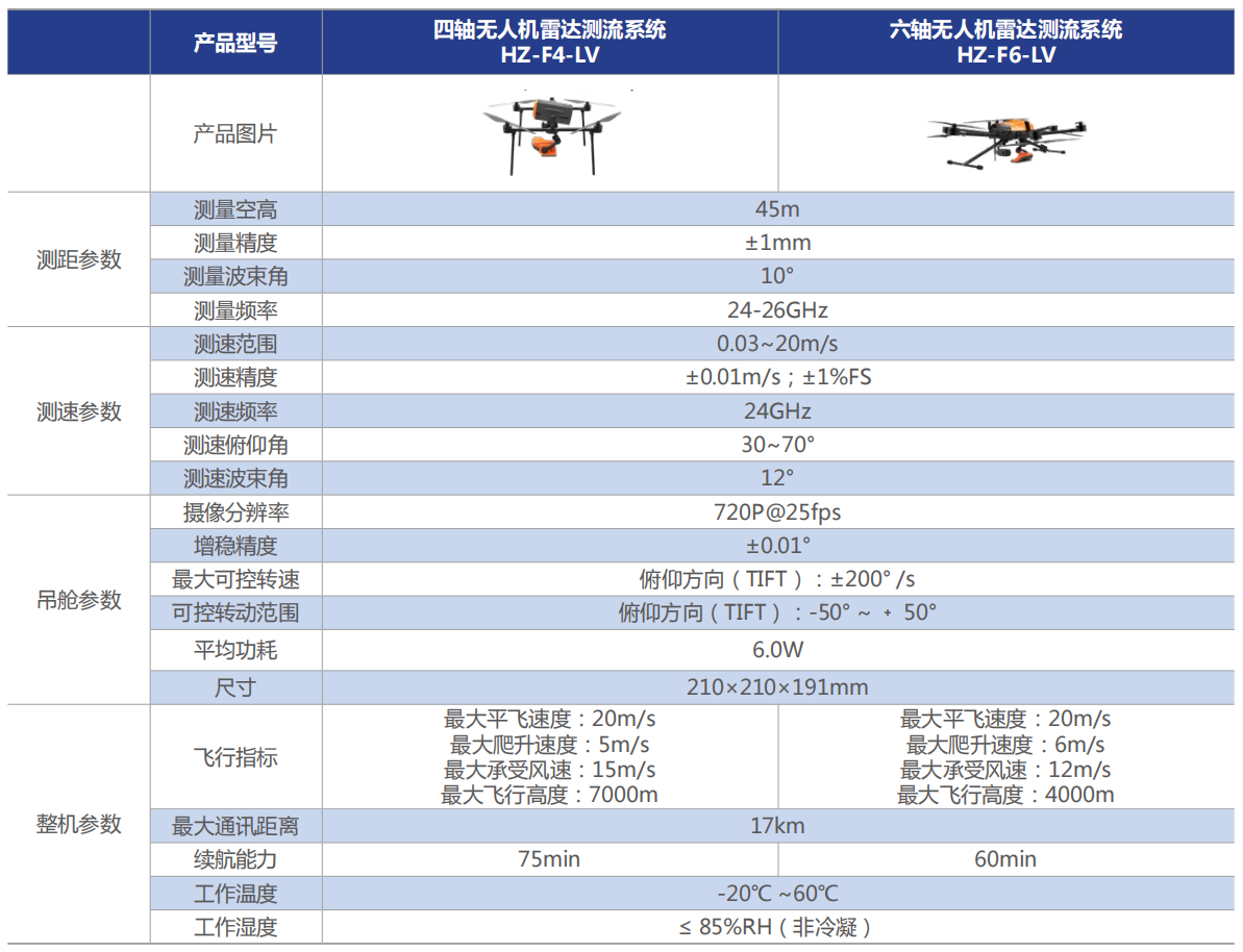
Technical parameters
-
Scenario application
Product Overview
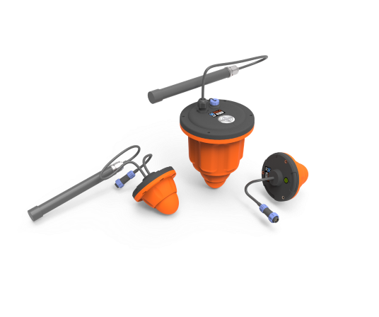
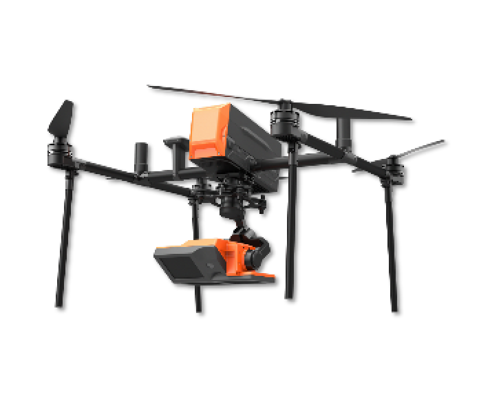
HZ-F4/F6-LV
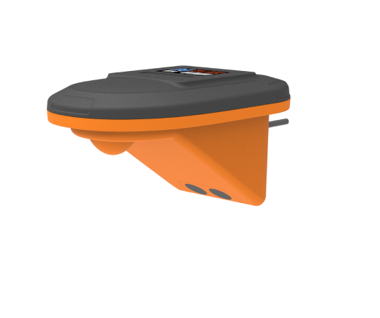
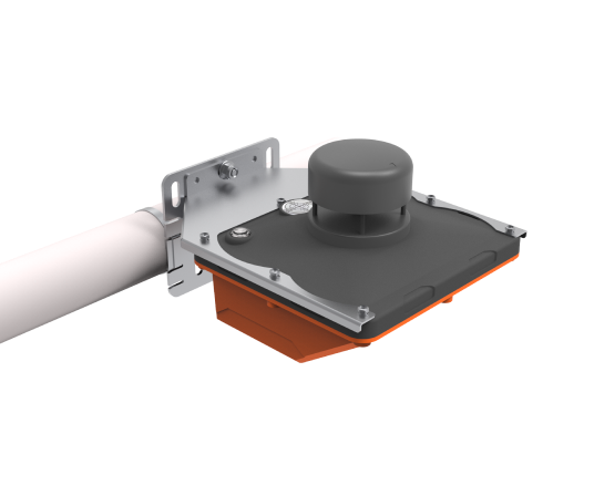
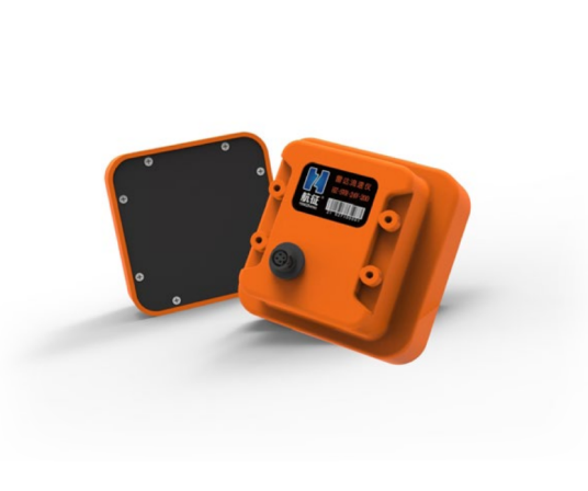
The HZ-F4/F6-LV UAV radar current measurement system is an unmanned flow measurement system developed for river high flood testing and field emergency testing scenarios. This system integrates the 24Ghz radar flow module, 24~26Ghz radar water level module, and video system through a two-axis stabilized gimbal, and hangs it on a quadcopter/hexacopter drone. The system can be combined with cross-section GIS to realize the inspection of flow rate, water level and flow, and directly generate a flow result statistical table that meets the hydrological specifications.

Technical features


-
Functional 3-in-1
Multi-sensor fusion, including 24Ghz radar flow rate module, 24~26Ghz radar water level module, video system, etc
-
Synchronization of monitoring and reporting
The surface flow velocity and water level are directly measured in a single flight, and the data is transmitted back in real time, and the flow results statistical table that meets the hydrological specifications are directly generated
-
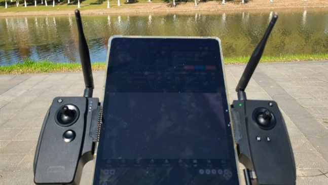
Split-screen live
The video interface and current measurement software interface are displayed on the ground side, making on-site operations more intuitive
-
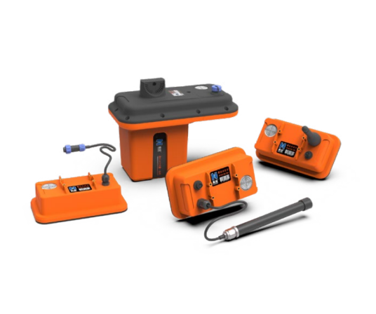
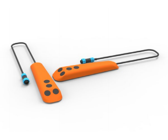
Quick-release construction
The modular design allows the entire system to be assembled or disassembled in just 3-5 minutes, and the 26-inch trolley case can hold all the components
-
Personnel safety and security
In response to the high flood test, you can set off at any time, and the patrol personnel do not need to be near the torrent, and the safety of the personnel is highly guaranteed
Technical parameters
Scenario application
-

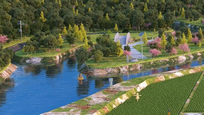
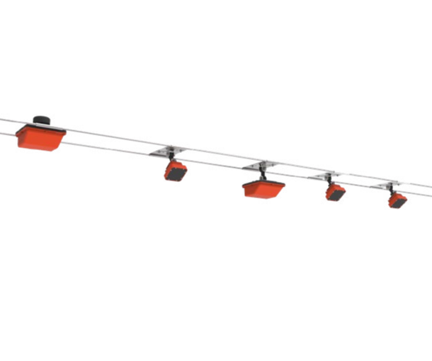
UAV cruise flow measurement
-
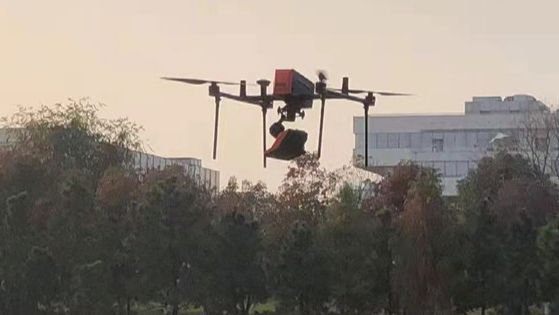
Unmanned aerial vehicle (UAV) cruise measurement
-
Unmanned aerial vehicle (UAV) cruise measurement