

Sichuan Dujiangyan Irrigation District Informatization Construction Project
It is a leading national high-tech enterprise with independent intellectual property rights and a national specialized and special new little giant enterprise, and is a professional provider of water sensing products and solutions.
-
Project time:
2020
-
Application scenarios:
Hydrology and hydraulics
-
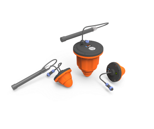
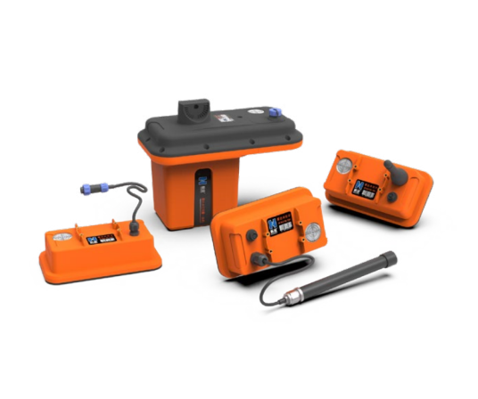
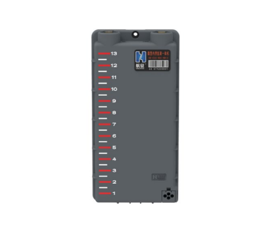
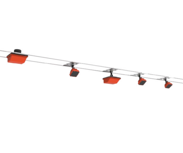
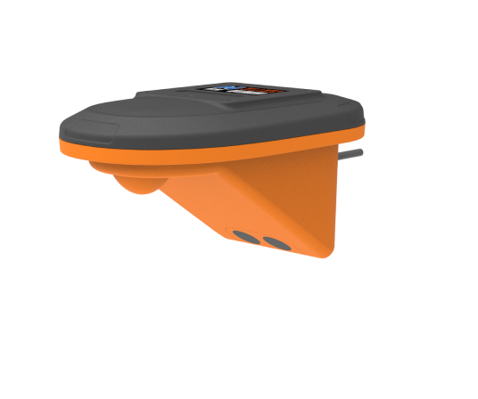
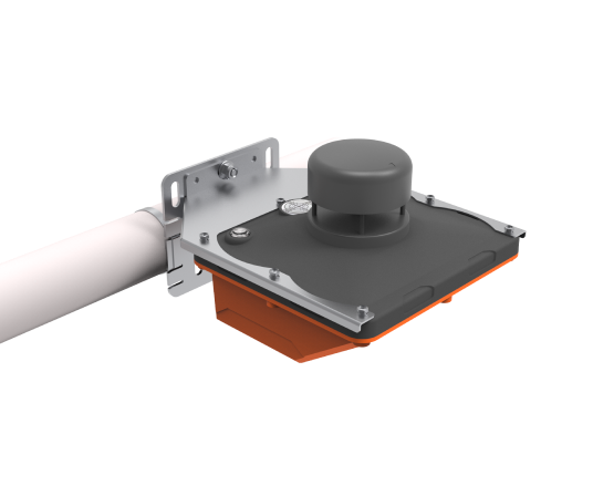
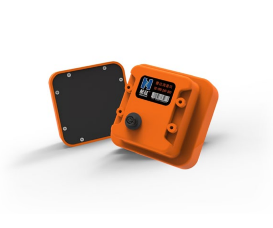
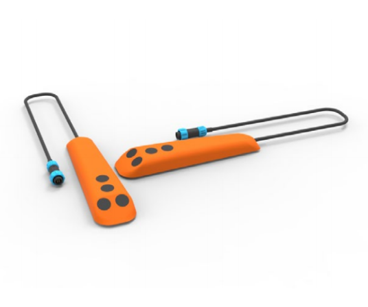
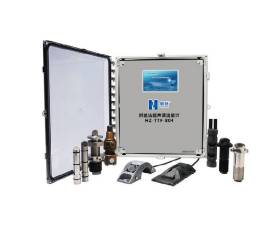
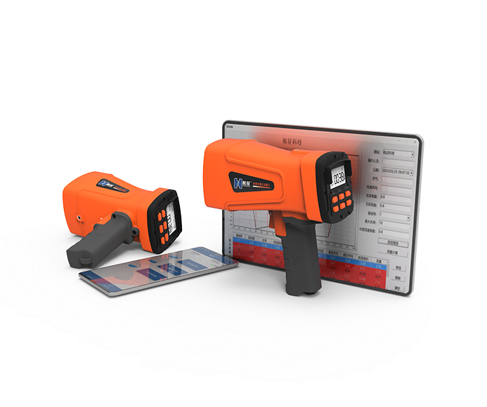
Related products:
Project Overview
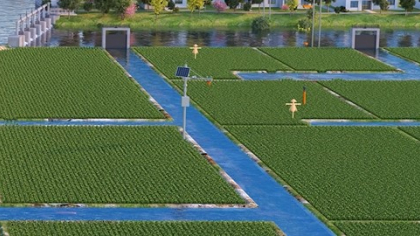
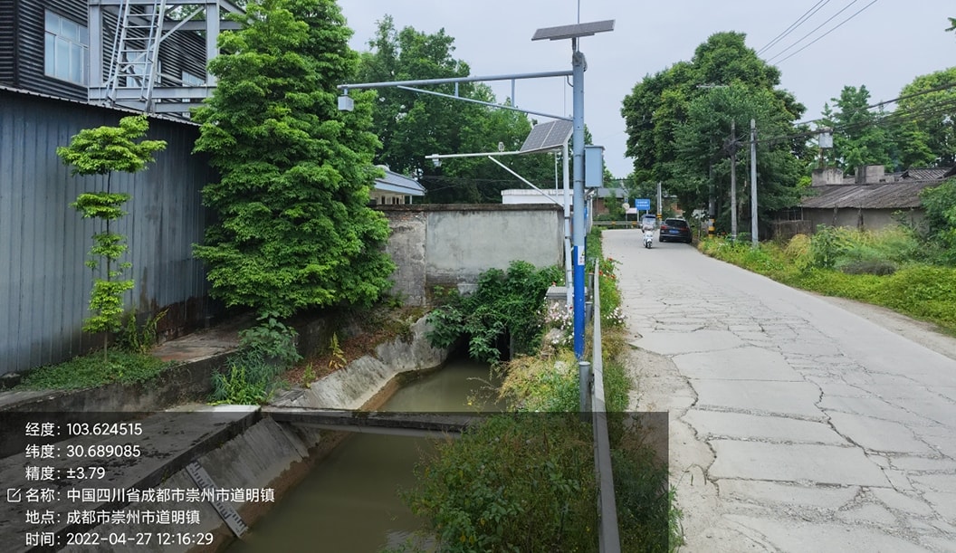
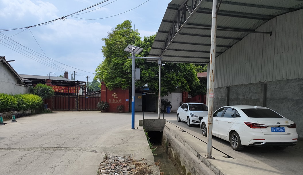
Dujiangyan Irrigation Area was founded at the end of the Warring States Period, with an irrigation area of 738,400 hectares and numerous irrigation channels, including 55 trunk canals, with a total of 2,437 kilometers, and 536 branch canals, with a total of 5,742 kilometers. In addition, there are 48,000 water storage facilities of various types, more than 500 sluices of various types, and 44 large and medium-sized sluices, which are extremely difficult to manage.
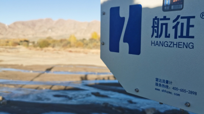
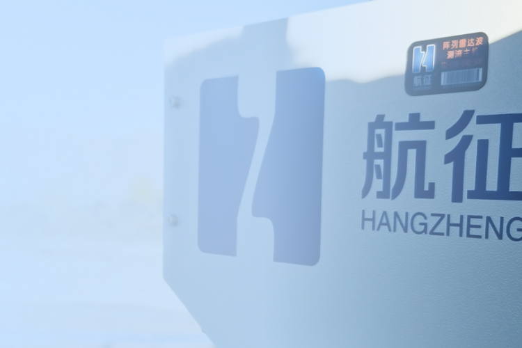
In order to ensure the effective utilization of water resources, scientific and rational distribution, and realize the sustainable development of water resources, Dujiangyan Irrigation District has built flow monitoring stations at more than 100 important nodes such as trunk canals, branch canals, and bucket canals, and equipped with navigation radar flowmeters and array radar online flow measurement systems, which have realized real-time online monitoring of flow, flow rate and water level information in the irrigation area, and effectively improved the water use efficiency of Dujiangyan Irrigation District.
The value of the project
The comprehensive upgrade of hydrological data, rain data and moisture data collection of important ports in Dujiangyan Irrigation Area, automatic control and remote centralized monitoring of some hub gates can provide water resources data and video image support for water resources scheduling decision-making and flood control and drought control command, and improve the level and efficiency of resource scheduling decision-making through automatic control and remote centralized monitoring and control gates.